Carolina Bays
South Carolina’s Wetlands
Carolina Bays in Allendale County, SC. Credit: SC DNR
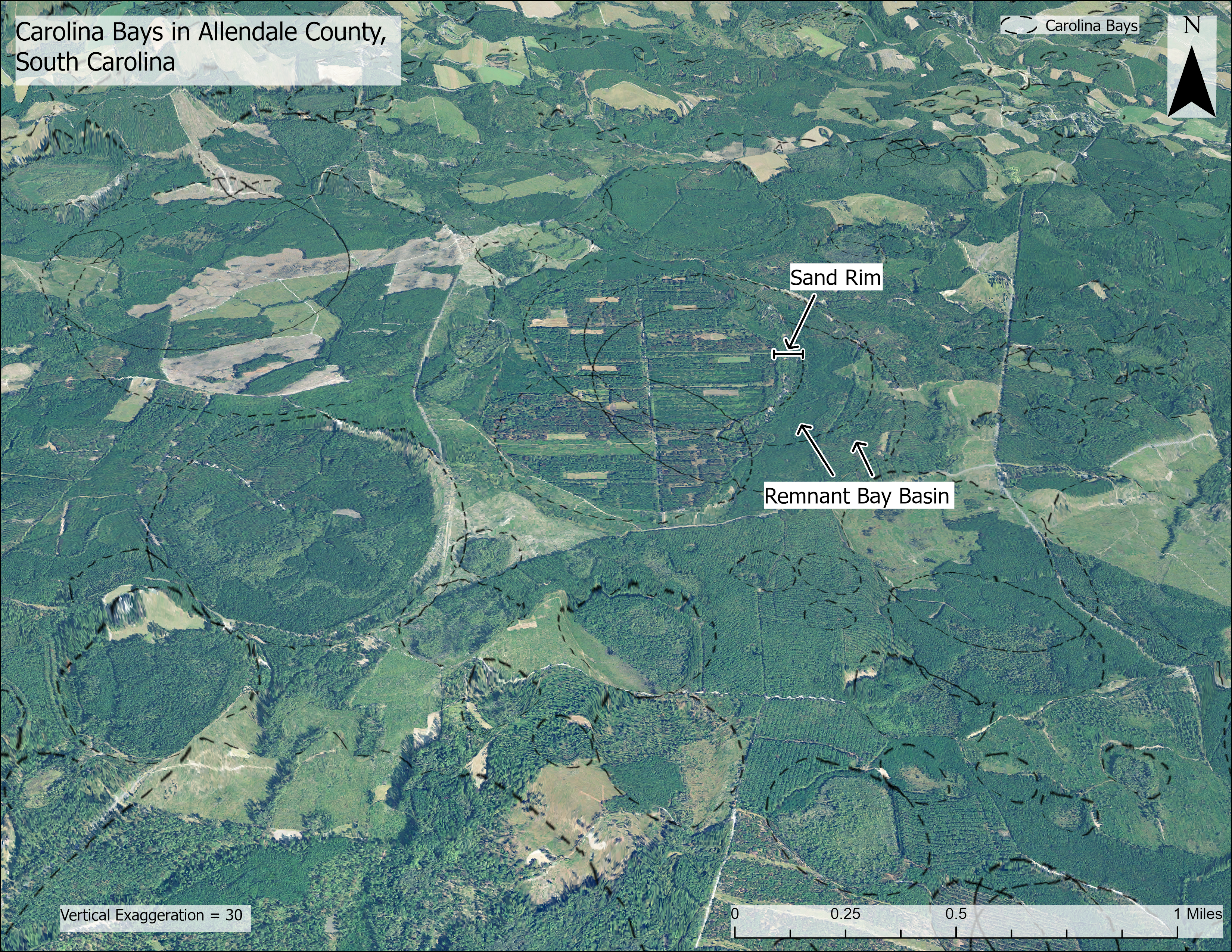
What Is a Carolina Bay?
A Carolina Bay will typically share most, if not all, of the following characteristics:
- Oval shape
- NW (top)– SE (bottom) orientation
- Sand rims raised above surrounding ground general level
- Interior surfaces below the surrounding ground level
- Differences between their interior soils those in the surrounding areas
- Relatively shallow depths
- Flat sandy bottoms beneath their interior fill
- Apparent independence of inflowing or outflowing streams
At the conclusion of a study published by the SC Heritage Trust from 1983-1988, it was determined that 2,651 bays with an axis greater than 416 feet were present among 29 counties of South Carolina. Of the total, 613 were selected for field study, 219 were determined to be relatively intact with minimal disturbance, and 36 were selected for SC Heritage Trust conservation projects. In a 1999 study published by the SC Dept of Natural Resources they advanced a recommendation to the US Environmental Protection Agency for 109 of those areas for protection.
A Brief History: Ancient & Modern
In 1765 William Bartram and his son John traveled along the Atlantic Coastal Plain and the publication of the trip’s Travels journal in 1791 is perhaps the earliest recorded description of the Carolina Bay. In 1848, state biologist Michael Tuomey was the first to note their distinctive shape. But it wasn’t until the 1980s that a USDA aerial photography program gave us an order of magnitude for these formations, and perhaps coincidentally the publication of John Bartram’s Pocasins book in 1982 may have contributed to the timing of the “The Carolina Bay Project” in 1983 by the SC Heritage Trust Program to study them.
One leading theory is that the Carolina Bays likely began over 11,500 years ago during the post-glacial Wisconsin period. As the frozen ground thawed, the wave action of melting water driven by the northwesterly winds of the period formed these unique elliptical depressions.
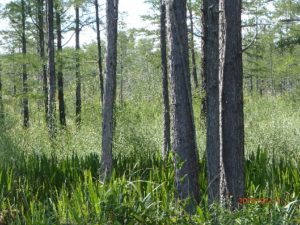
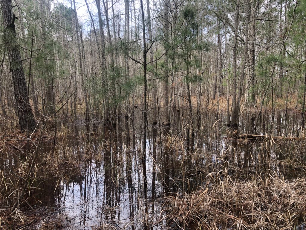
A Rich Biodiversity Trapped in Time
During the 1980s study, 36 plant species “of concern” were identified, including 23 that are threatened or endangered.
Only in the last 40 years have we begun to log an inventory of the incredible flora and fauna hidden in these habitats and begun to value them for the time-capsule treasures that they are.
The South Carolina Native Plant Society is responsible for the stewardship of two such Carolina Bays.
Kingsburg Bay. Credit: Lisa Lord
Lisa Matthews Memorial Bay